China is accelerating the development of a coordinated and efficient modern maritime navigation safety assurance system. No matter how far ships travel, smart technology provides reliable navigation support.
Spring brings clear skies and beautiful scenery, offering a panoramic view of the vast land of China. Ships come and go, loading and unloading without pause; vessels compete on the waterways, stretching for thousands of miles... In the first quarter of this year, the number of ships entering and leaving China's coastal and inland ports reached 8.1106 million, with cargo throughput totaling 4.795 billion tons, representing year-on-year growth of 6.57% and 21.72%, respectively.
Behind the busy shipping network lies a massive support system. According to data from the Ministry of Transport, China has built the world's largest comprehensive maritime navigation support system, forming a navigation aid network that covers coastal ports and waterways. Why is maritime navigation support important? How was the system built? Reporters conducted interviews to find out.
"Guardian" of maritime safety, "Pioneer" of the marine economy
"Maritime navigation support provides technical services such as spatial geographic information, navigation aids, communication, and environmental sensing for waterborne activities, ensuring the safety of ship navigation, improving shipping efficiency, and supporting the development of the marine economy," explained a relevant official from the Maritime Safety Administration of the Ministry of Transport.
Maritime navigation support is the "guardian" of maritime navigation safety.
On October 25, 2025, a ship collision occurred in the waters of the Pearl River Estuary. The South China Maritime Navigation Support Center promptly initiated an emergency response and carried out efficient emergency handling: the Guangzhou Coast Radio Station broadcasted bilingual navigation warnings, survey ships conducted measurements of the sunken ship's location and temporary waterways, and buoy-laying ships set up emergency navigation buoys, effectively maintaining normal navigation order.
Behind the swift response is an efficient support system integrating multiple methods such as buoys, surveying, and communication.
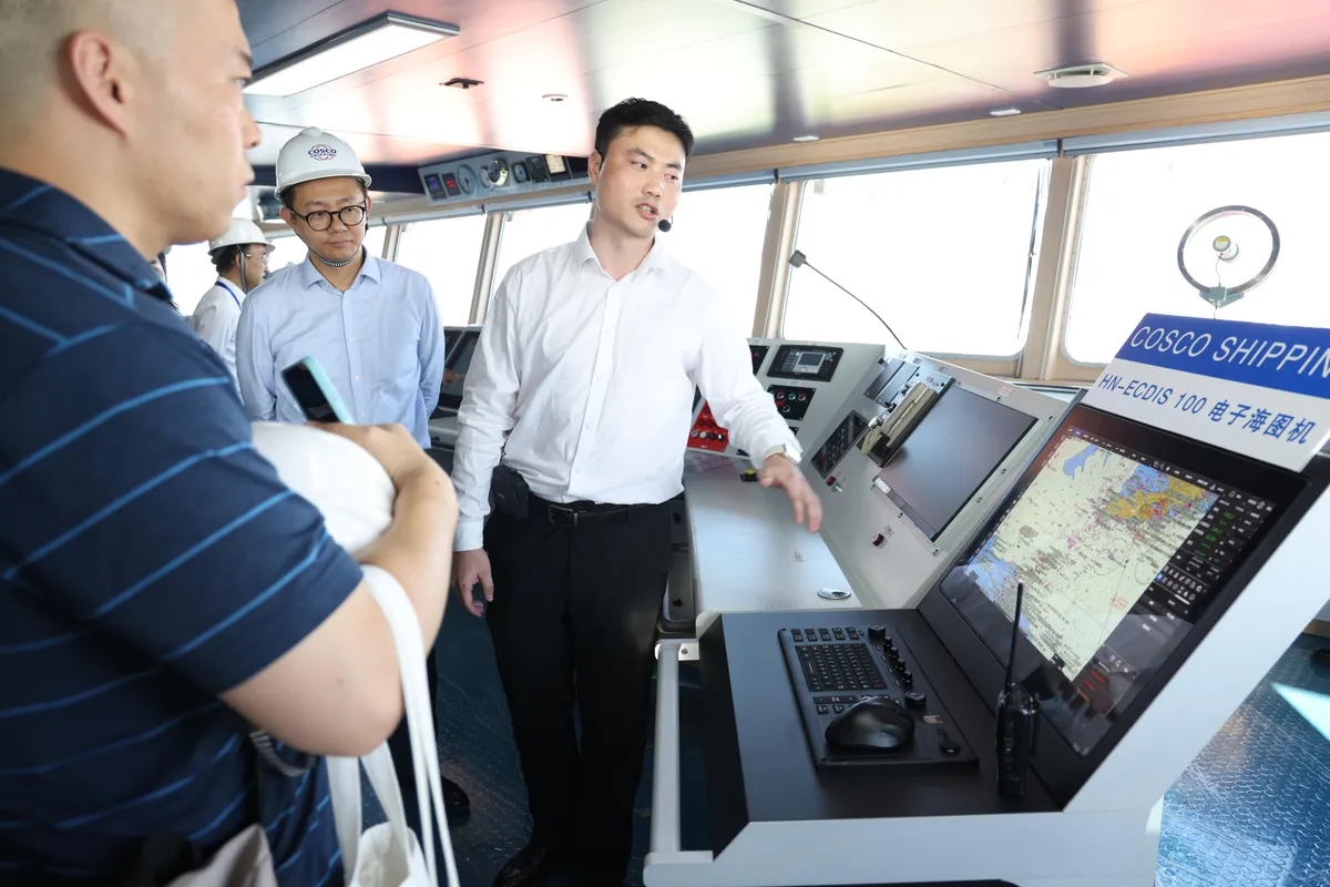
In the South China Sea, navigation buoys in the Sansha waters have fully adopted the Beidou satellite system for remote sensing and control, effectively ensuring the safe passage of over 100,000 ships annually. In the East China Sea, China's first set of fishery-specific electronic nautical charts was put into use at the end of last year, integrating key navigation information such as high-risk collision warning zones for commercial and fishing vessels and the north-south coastal passage, effectively ensuring the safe production of marine fisheries.
A maritime navigation support network covering "sea, land, and air" operates around the clock, silently safeguarding waterways and ships. Data shows that in 2025, the maritime system efficiently ensured the safe entry and exit of 34.647 million ships, with waterborne transport accidents decreasing by 36.7% year-on-year.
Maritime navigation support is also the "pioneer" in serving the development of the marine economy.
In the waters between Xiamen and Kinmen, the construction of the Xiamen-Kinmen Bridge is in full swing. Meanwhile, passenger ferries shuttle back and forth on the Xiamen-Kinmen "mini three links" route. On one side is the rapid growth of a major project, and on the other is the "golden channel" for cross-strait exchanges. How can construction and navigation coexist without disruption?
The Xiamen Maritime Safety Administration, in collaboration with the navigation buoy department, performed a "minimally invasive surgery" on the waterway: by adjusting three light buoys, adding three new light buoys, and setting up four virtual ship automatic identification system buoys, they created a 3.93-kilometer temporary waterway, providing operational space for bridge construction while ensuring the normal operation of passenger routes.
"Global trade relies heavily on maritime transport, which means the maritime navigation support system plays a crucial role in serving national strategies and maintaining the stability of international logistics supply chains," said a relevant official from the Maritime Safety Administration of the Ministry of Transport. Currently, China's maritime navigation support system completes an average of 23,000 square kilometers of hydrographic surveys annually, with over 5 million electronic nautical charts issued each year, providing high-precision foundational data support for port planning, waterway expansion, and navigation efficiency improvement.
Solid support from technological innovation, continuous upgrades in infrastructure
As of the end of March this year, China managed 24,600 coastal navigation buoys, a 65% increase compared to 10 years ago. Nautical chart services have evolved from primarily paper charts to full coverage of electronic charts for coastal ports and waterways. Annual public communication volume exceeds 2.2 million instances, with over one million safety messages broadcasted, achieving seamless maritime safety communication along the coast and establishing a secure communication network connecting global ports and ships.
How was such a massive, three-dimensional maritime navigation support system built?
Behind it lies solid support from technological innovation.
"As a technology-integrated application industry, maritime navigation support encompasses multiple cutting-edge technology fields such as artificial intelligence, big data, and satellite positioning and navigation," said Li Shigang, Director of the East China Maritime Navigation Support Center. He noted that the shipping industry is accelerating its transition to intelligence and sustainability, and smart maritime navigation support is a prerequisite for achieving safe, efficient, and coordinated intelligent shipping development.
In March 2024, the Maritime Safety Administration of the Ministry of Transport launched the "One Map" platform integrating sea and land data. By integrating nautical, river, and land map data into a single system and terminal, the platform resolved the issue of users being unable to simultaneously access two types of data within the same system. To date, the platform has provided spatiotemporal data foundations for over 50,000 ships and more than 20 ports, with annual service calls exceeding 10 billion, supporting projects such as offshore wind power and subsea oil pipelines.
In the busy shipping area of the Yangtze River Estuary, 14 multifunctional navigation buoys, 16 ship automatic identification system base stations, and 13 hydrological stations have been established. By aggregating and processing various data on ships, weather, and hydrology, nautical chart information has become richer and more up-to-date, achieving seamless integration of river and ocean electronic maps.
In September 2025, the next-generation international standard intelligent navigation system for ships was officially launched in the Pearl River Estuary of the Guangdong-Hong Kong-Macao Greater Bay Area. This system integrates real-time data on tides, currents, and weather, providing route recommendations and safety warnings as part of an intelligent navigation service, further enhancing navigation efficiency in the Pearl River Estuary.
The construction of the maritime navigation support system also relies on the continuous upgrading of infrastructure.
In the Bohai Sea, the North China Maritime Navigation Support Center, in collaboration with CNOOC and telecom operators, has built multi-mode 5G base stations using offshore oil platforms. This has ended communication interruptions during the seven-hour voyage on the Liaoning-Shandong route, and full communication coverage of the Bohai Sea is expected to be achieved by the end of this year.
In the South China Sea, the South China Maritime Navigation Support Center has established the largest unmanned aerial vehicle (UAV) fleet in the maritime system, forming a "UAV+" operational model for navigation aid facility inspections, survey data collection, and emergency response, achieving normalized three-dimensional maritime navigation support in the South China Sea.
"China is accelerating the digital and intelligent upgrading of maritime navigation support infrastructure," said a relevant official from the Maritime Safety Administration of the Ministry of Transport. From lighthouses and ship automatic identification systems to communication stations and the "One Map" system integrating sea and land data, continuous investment in infrastructure construction is advancing maritime navigation support from "visible nearshore" to "manageable across all regions."
Extending "deeper," expanding "newer," transitioning to "smarter"
Significant achievements have been made, but challenges remain. "Currently, China's maritime navigation support still faces issues such as weak construction of advanced equipment, insufficient support capabilities for deep-sea and remote areas, and inadequate sensing capabilities in key sea areas," said a relevant official from the Maritime Safety Administration of the Ministry of Transport. Entering the "15th Five-Year Plan" period, efforts must be accelerated to build a modern maritime navigation support system, achieving systemic improvements in service capacity, technological resilience, and international influence.
How to extend "deeper"?
"As China's marine activities expand from nearshore and coastal areas to deep-sea, polar, and other regions, maritime navigation support services must extend their scope, continuously expanding geographic space and functional boundaries, addressing shortcomings in deep-sea support, and better ensuring the stability of international logistics supply chains," said Li Shigang. The next step will involve strengthening the construction and application of satellite internet at sea, enhancing communication and monitoring capabilities in key sea areas, islands, and important straits.
How to expand "newer"?
"New industries such as offshore wind power and marine ranching are thriving in China, injecting 'blue energy' into the development of the marine economy while also bringing new challenges to maritime safety in related waters," said Jiang Jianyu, Director of the South China Maritime Navigation Support Center. In the future, maritime navigation support services must shift focus from ships themselves to new industries, accelerating the expansion of customized and precise services, further broadening the scope of navigation support services, and better promoting the development of the marine economy.
For the 122 offshore wind farms and 24 national-level marine ranches planned in the South China Sea, the South China Maritime Navigation Support Center is deepening the integration of navigation support services to provide comprehensive maritime navigation support solutions for new marine industry projects. To date, the comprehensive navigation support services implemented have covered 46 key projects.
How to transition to "smarter"?
"Driving service upgrades through technological innovation is key to enhancing the capacity of maritime navigation support services. We must aim for independent control and promote the deep integration of new technologies such as artificial intelligence and big data with maritime navigation support services," said Yang Zhe, Director of the North China Maritime Navigation Support Center. In the future, efforts will focus on breaking through key core technologies to promote the development of intelligent shipping.
Currently, the multi-source ship dynamic sensing system constructed by the North China Maritime Navigation Support Center has integrated data from 18 domestic satellites, receiving an average of 3.66 million Beidou data entries daily. The stable and reliable real-time ship data stream provided by the ship automatic identification system offers decision-making references for port and shipping enterprises to optimize resource allocation and improve operational efficiency.
From nearshore to the deep blue, from traditional to intelligent, a modernized maritime navigation support network that is increasingly dense and highly efficient will provide stronger support for building a transportation powerhouse and better serve economic and social development.
People's Daily (April 22, 2026, Page 07)
-
Guarding the Yangtze River's safety, benefiting the livelihood of riverside residents—Anqing Port Maritime Office weaves a dense safety net for the Anqing section of the Yangtze River.3838
-
A thousand sails head to sea, Lianyungang Maritime ensures safe navigation for the full opening of the fishing season.3275
-
The Dalian Port Lightship Returns to Duty in "Stylish Attire"3376
-
Let the treasures of the grasslands reach across rivers and seas.5010
-
The East China Sea Second Rescue Flying Team of the Ministry of Transport has released an “AI” action plan.3345